Assateague Black and White Prints
Assateague Black and White Prints
by Jacqueline LaRocca

History of Assateague Island
A Wild Barrier Island Takes Shape
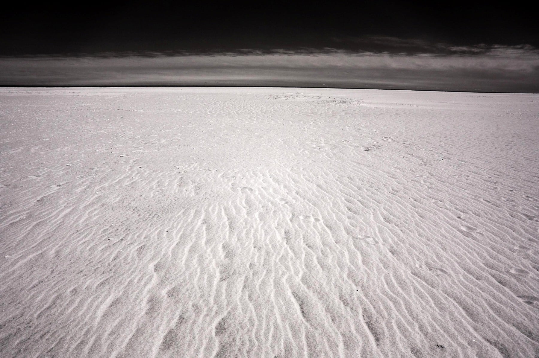
Assateague Island formed thousands of years ago as shifting sands built a long barrier along the Atlantic coast. Constant waves, tides, and storms shaped its dunes and marshes. Because the island moved with each storm season, its landscape changed often.
As a result, Assateague developed a dynamic shoreline that still evolves today. Native peoples visited the island for fishing and seasonal gathering. However, they left few permanent structures due to the island’s shifting nature.
Early Exploration and Colonial Interest
European explorers reached the region in the 16th and 17th centuries. They mapped the coastline and recognized the island’s strategic location. Meanwhile, colonial settlers used nearby waterways for trade and transport. Assateague itself remained mostly undeveloped because storms frequently reshaped the land.
Even so, the island supported fishing camps, grazing areas, and small seasonal settlements. Therefore, Assateague became part of the region’s early maritime economy.
Shipwrecks, Storms, and Maritime Life
During the 18th and 19th centuries, Assateague gained a reputation for dangerous shoals. Shifting sandbars caused numerous shipwrecks along the coast. As a result, the U.S. Life‑Saving Service established stations on the island.
These crews patrolled the beaches and rescued stranded sailors. Meanwhile, storms continued carving new inlets and erasing old ones. The island’s harsh conditions discouraged permanent towns, but fishing communities still visited seasonally.
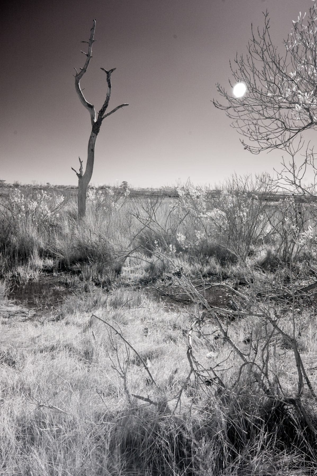
The Legend of the Wild Horses
Assateague’s wild horses became its most famous residents. Their origins remain debated. Some stories claim they descended from shipwrecked Spanish horses. Other evidence suggests early settlers released livestock to graze freely. Regardless of their beginnings, the horses adapted to the island’s salty grasses and harsh weather.
Consequently, they became a defining symbol of Assateague. Today, separate herds live on the Maryland and Virginia sections of the island.
Development Plans and a Turning Point
In the mid‑20th century, developers planned a resort community on Assateague. Roads and infrastructure began taking shape.
However, the devastating Ash Wednesday Storm of 1962 destroyed the new development. Because the storm revealed the island’s vulnerability, federal officials reconsidered its future.
As a result, the government protected the land instead of rebuilding.
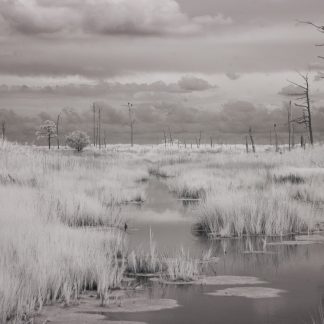
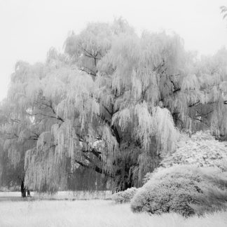
A Protected Coastal Wilderness
Assateague Island National Seashore was established in 1965. The Maryland side became a national park site, while the Virginia side became Chincoteague National Wildlife Refuge. Today, conservation efforts protect dunes, marshes, forests, and wildlife.
Meanwhile, visitors explore beaches, trails, and scenic overlooks. As a result, Assateague remains a rare coastal wilderness shaped by wind, water, and time.
Showing all 3 results
-
Maryland Canvas Art Prints
$229.00 (price_excluding_tax) Select options This product has multiple variants. The options may be chosen on the product page -
Maryland Fine Art Prints
$229.00 (price_excluding_tax) Select options This product has multiple variants. The options may be chosen on the product page -

Maryland Framed Art Prints
$550.00 (price_excluding_tax) Select options This product has multiple variants. The options may be chosen on the product page


Showing all 3 results